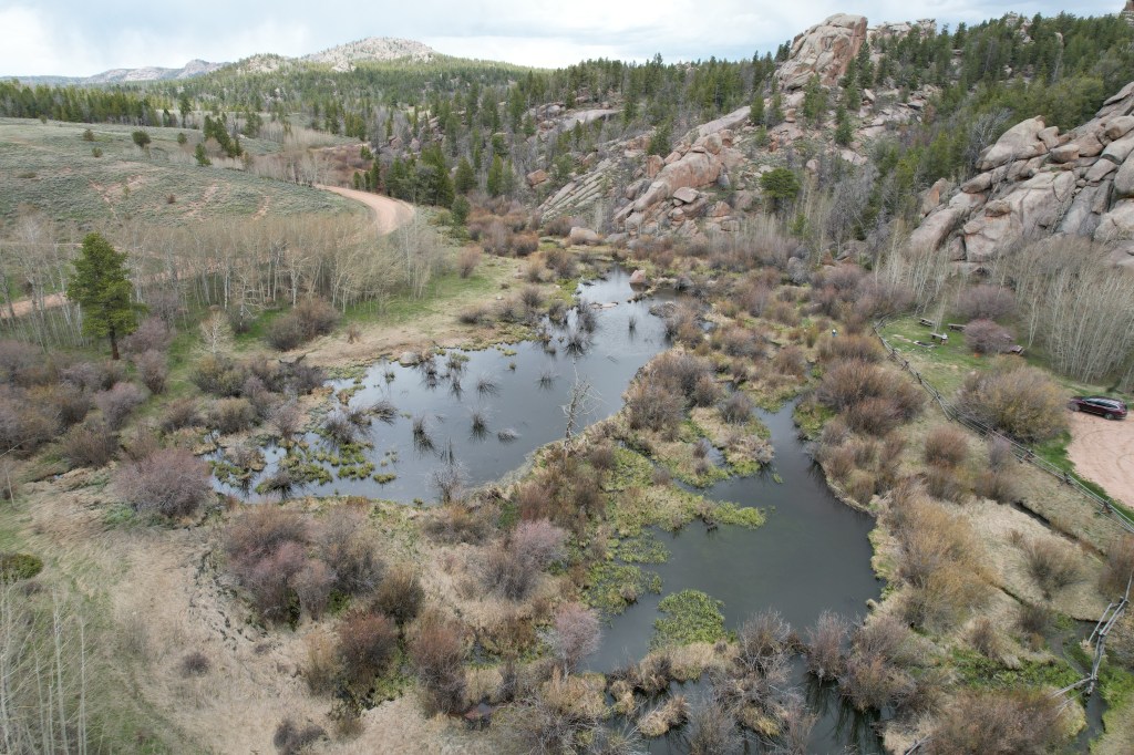
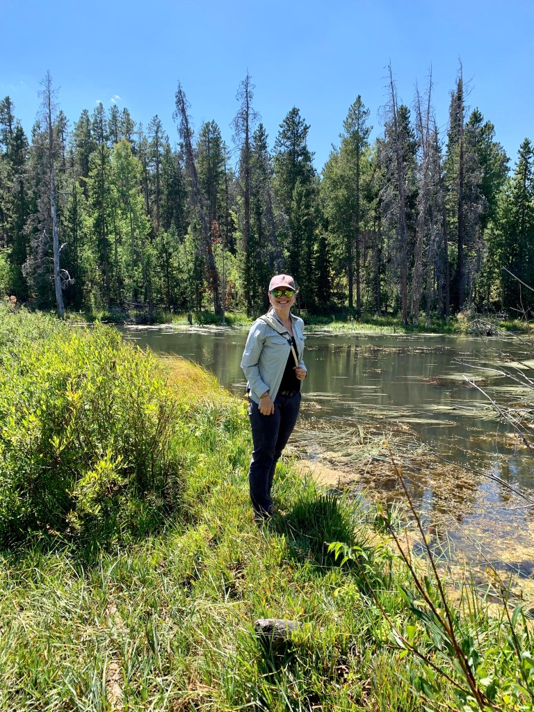
TL;DR: physically getting to beaver ponds and taking high quality data on them in the field is hard. Beaver ponds are muddy, mucky, sensitive ecosystems teeming with wildlife. They’re also enormous. Instead of tromping around the field, I develop methods to find them and collect data from them using satellite and aerial imagery. Satellites = Beaver Locators
Publication: E. Fairfax, E., Zhu, E., Clinton, N., Maiman, S., Shaikh, A., Macfarlane, W. W., et al. (2023). EEAGER: A neural network model for finding beaver complexes in satellite and aerial imagery. Journal of Geophysical Research: Biogeosciences, 128, e2022JG007196. https://doi.org/10.1029/2022JG007196
Beavers and Remote Sensing: The Tools
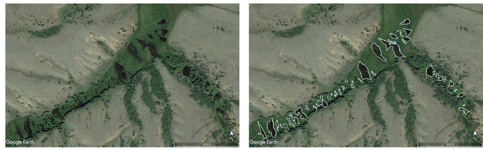
My research team uses Google Earth imagery, aerial photographs, drone surveys, and Landsat products to locate and map out beaver dams, ponds, and channels around the world. We have located and mapped dams in the USA, Canada, Mexico, the UK, and Patagonia to date. We have personally ground-truthed several field sites, and coordinated with local volunteers and collaborators for ground-truthing others.
We recently build a machine-learning image recognition model called EEAGER (Earth Engine Automated Geospatial Element(s) Recognition) that can help us rapidly identify beaver dams in aerial imagery. You can watch a short 12-min talk I gave about what EEAGER is, how we built it, and what it might be useful for below. You can also visit bit.ly/EEAGER to interactively see our model’s results!
EEAGER doesn’t fully replace researchers or field work – visiting beaver ponds is still part of the workflow, as is manually QA/QC-ing the data. But it does do a great job of giving a study region an initial look through and finding most of the dams which saves us a lot of time.

Need help mapping beaver dams with remote sensing?
My lab can accept contracts for beaver dam mapping projects! The rate varies based on how large an area you want mapped, the turnaround time, how many students (if any) you want working on it, whether you want me (Dr. Fairfax) mapping dams myself or just doing QA/QC on student-mapped dams.
The typical deliverables on these contracts are KMZ/KML path files outlining all visible beaver dams in a given area, a spreadsheet with an entry for each dam, including its elevation, lat/lon, length, and the date of imagery used. Pond area polygons are possible, but require more advanced student labor and/or more involvement from me, Dr. Fairfax.
If you have a mapping project in mind, use the contact form on this website with a brief description of the project.
